
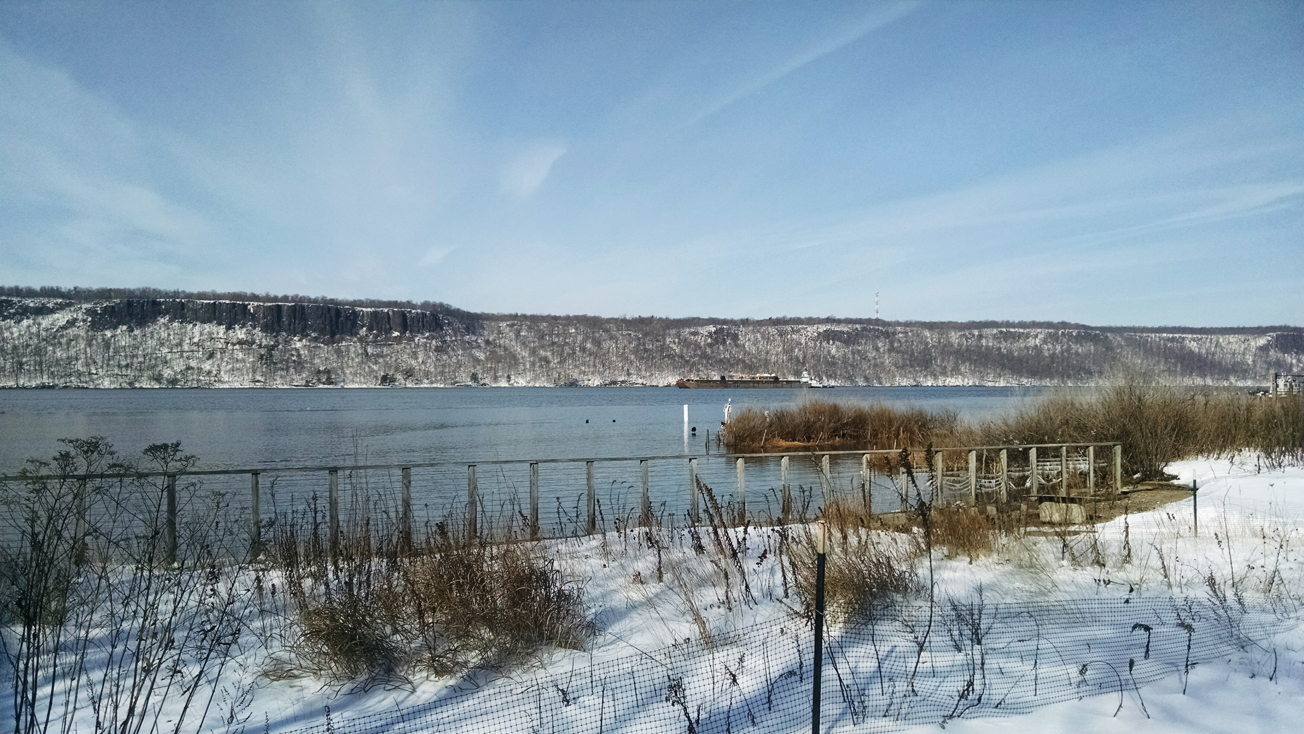
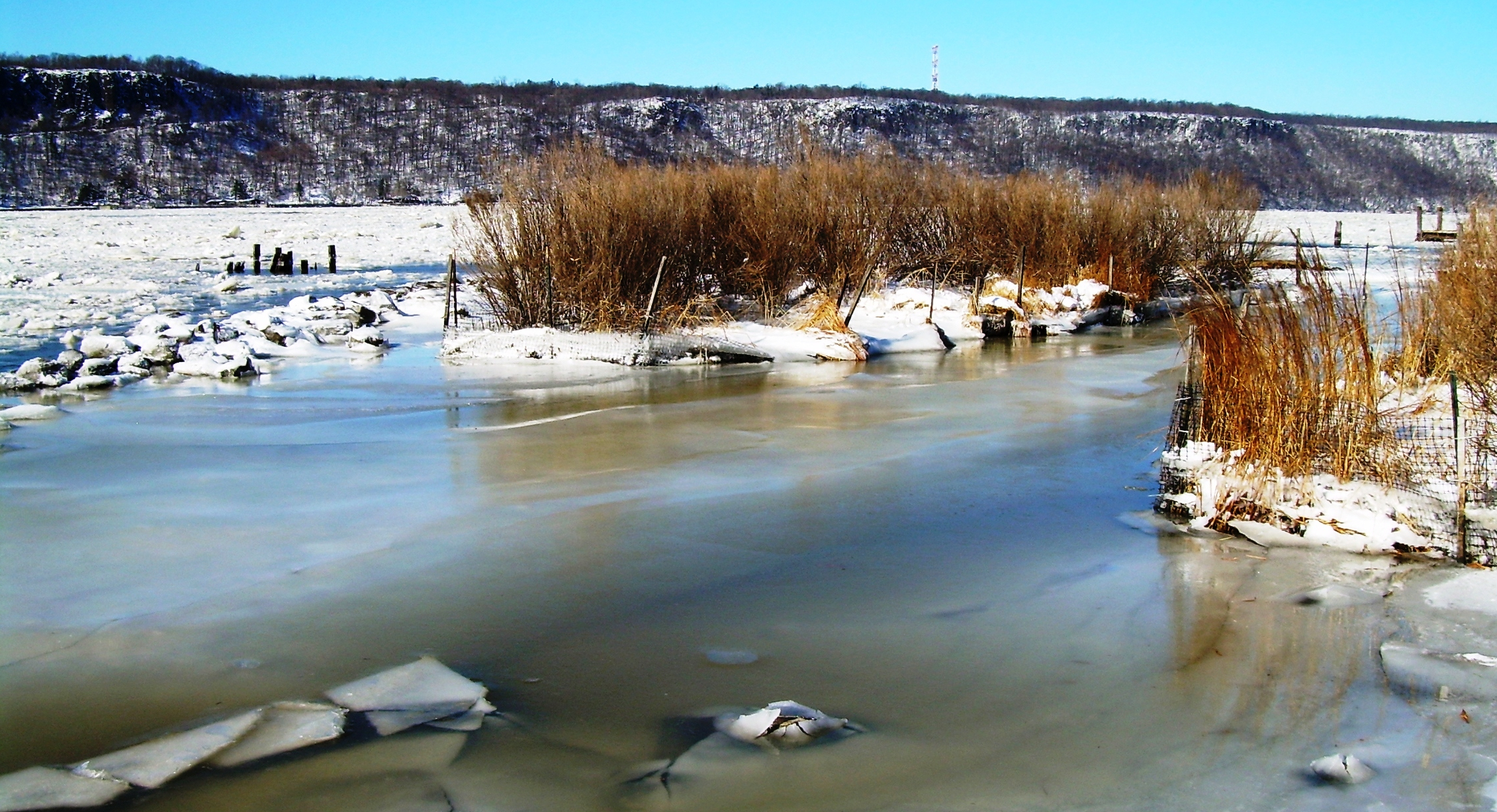
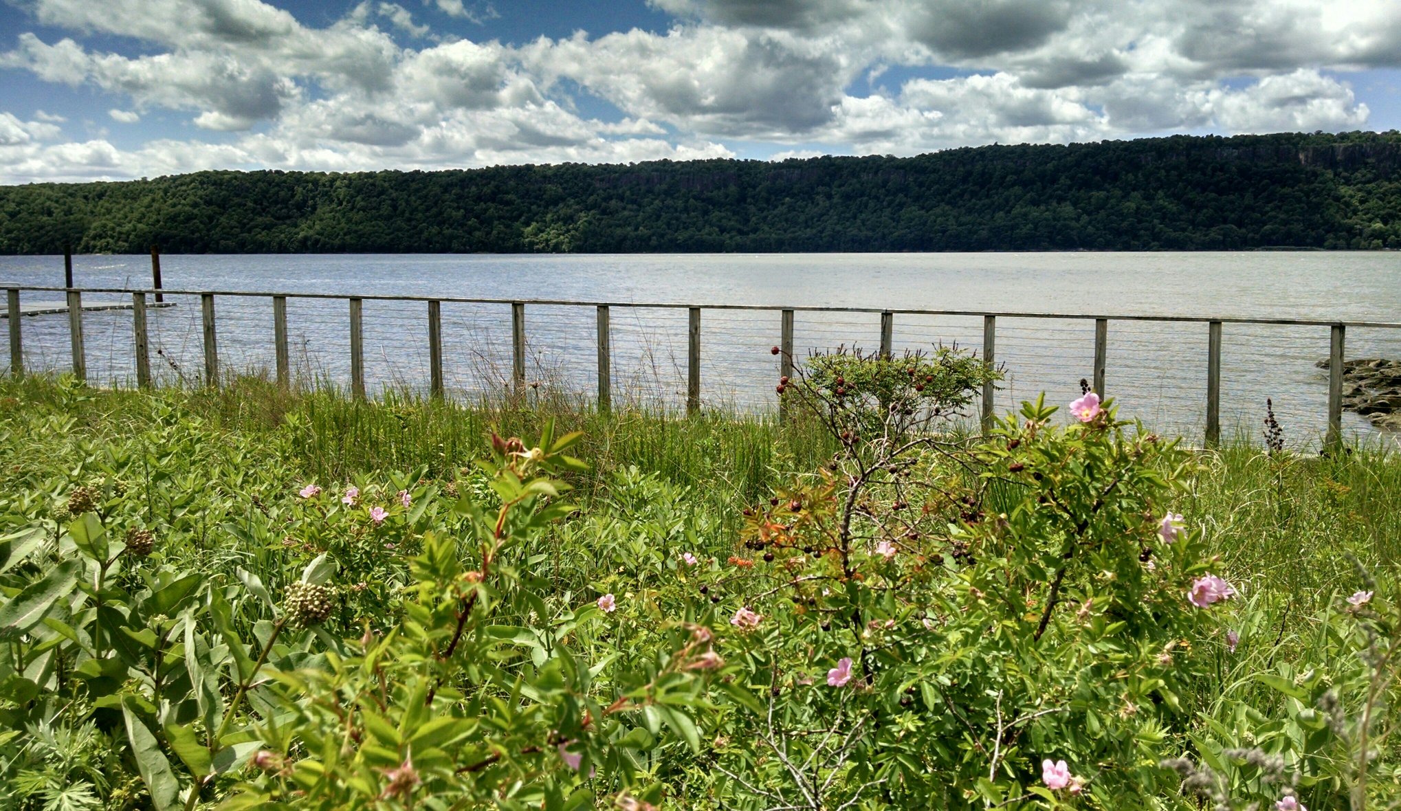
The Hudson River
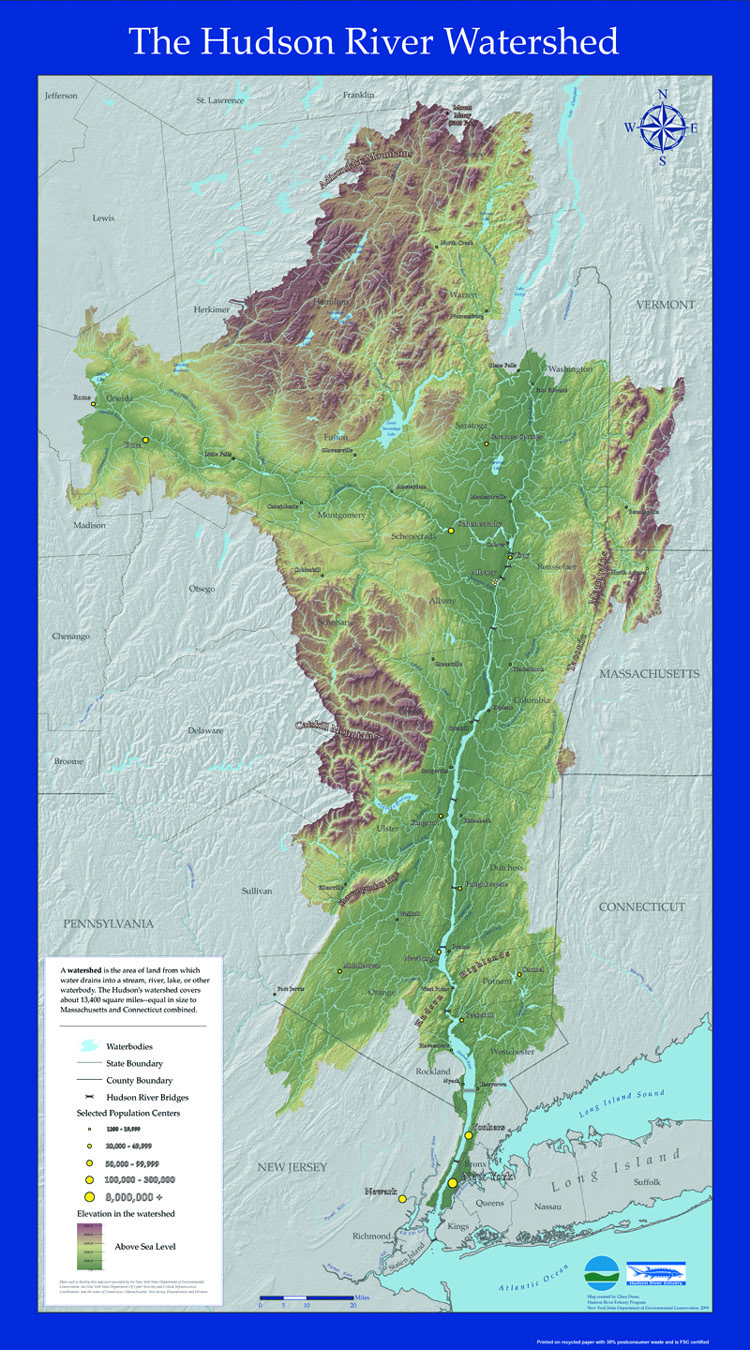
The Hudson River is 315 miles long, starting from the source at Lake Tear of the Clouds near the base of Mt. Marcy, in the Adirondack Mountain Range and empties into the New York Harbor leading to the Atlantic Ocean. Approximately 153 miles of the Hudson River is an estuary extending from the Troy Dam to the Atlantic Ocean. An estuary is a portion of a river where salt water from the ocean is measurably diluted by fresh water within the watershed.
The amount of salt in water is called salinity and is measured in parts per thousand (ppt). Parts per thousand refers to how many grams of salt are in one thousand milliliters of water.
Salt in the ocean originates from minerals dissolving in water. Salt water has salinity between 32 and 35 ppt. Water that has salinity in the range between fresh water (close to 0 ppt) and ocean water is called brackish water (a mixture of salt and fresh water).
Salt water enters the Hudson River during high tide, when water from the Atlantic Ocean is flooding the river. At the same time, there is a constant flow of fresh water flowing from the north to the south. Fresh water is also contributed to the River not only from the source but through fresh water tributaries (connecting streams and smaller rivers), and precipitation. The average location of the salt line of the Hudson River (the boundary between brackish and fresh water) is located just north of the Beacon-Newburgh Bridge.
The salinity of the Hudson River can vary depending upon the time of day and the season. As the tide in the ocean rises, it brings salty ocean water north to cities like Yonkers. Therefore, with the rise and fall of the tides each day the salinity of the river in Yonkers may also increase and decrease, respectively. There is approximately 6 hours between high and low tide. The tides also control the flow of the river. As the tide rises, the river flows north, and as the tide falls, the river flows south. This is why the Native Americans named the Hudson, “Muhheakantuck”, meaning, “the river that flows two ways”.
Hudson River Tides - Riverdale, NY (Courtesy of NOAA's Tides and Currents)
Hudson River Flood Gauge - Piermont, NY (National Weather Service)